May 22, 2021 - Day Three, Flight Two
Flying the Red River to Gainesville, Texas
|
| After topping off at South Lafourche, I headed west, skirted the towered Houma airport to the south, then headed northwest. |
| |
 |
|
|
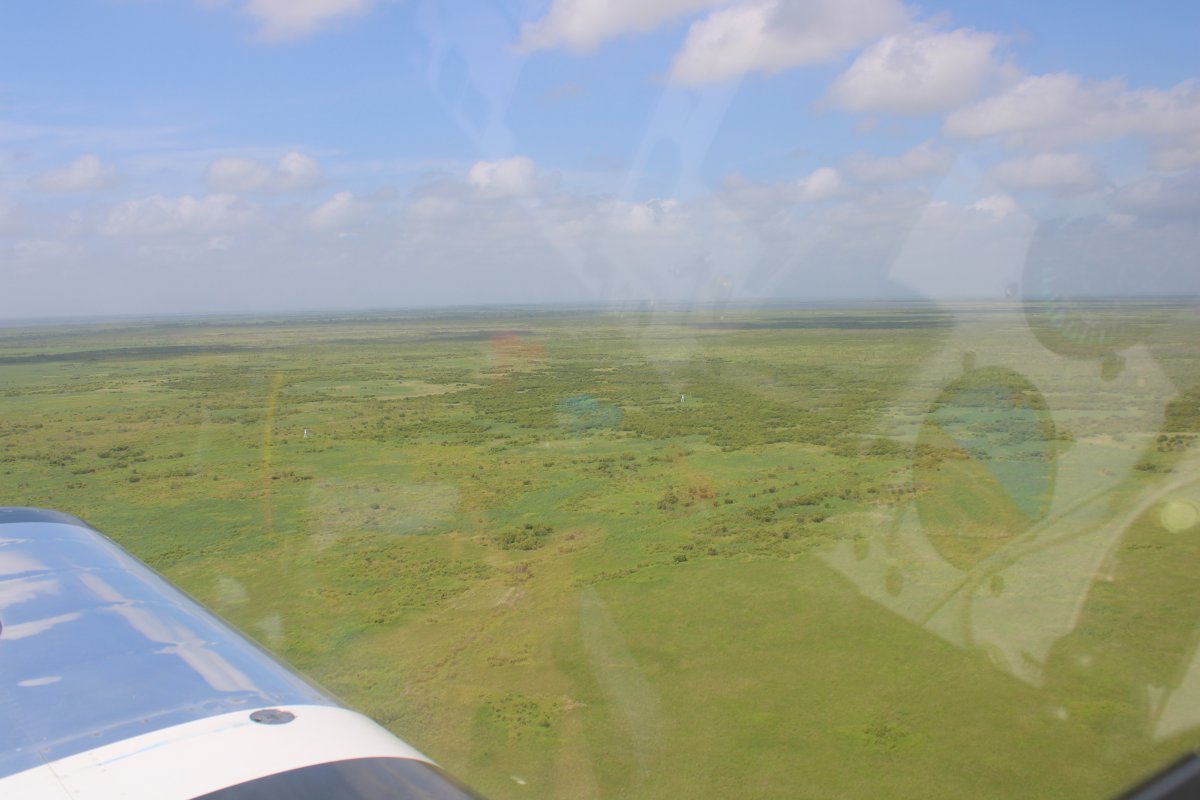
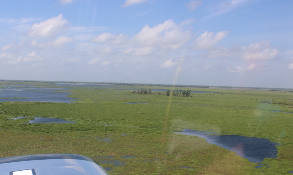
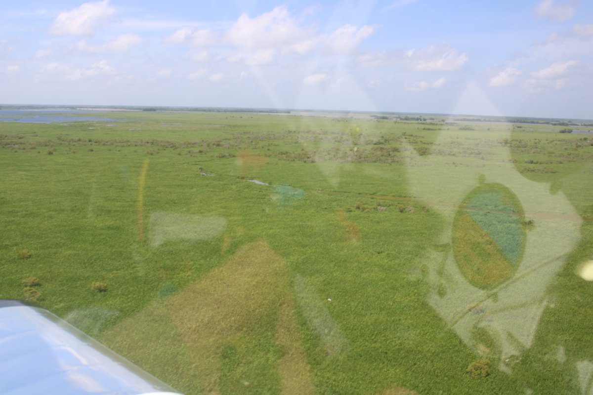
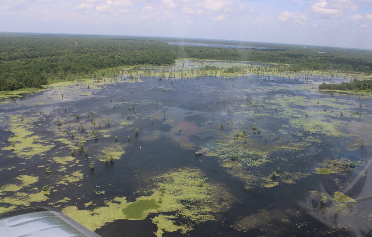
It was all marsh, swamp, or bayou.
|
| |
 |
|
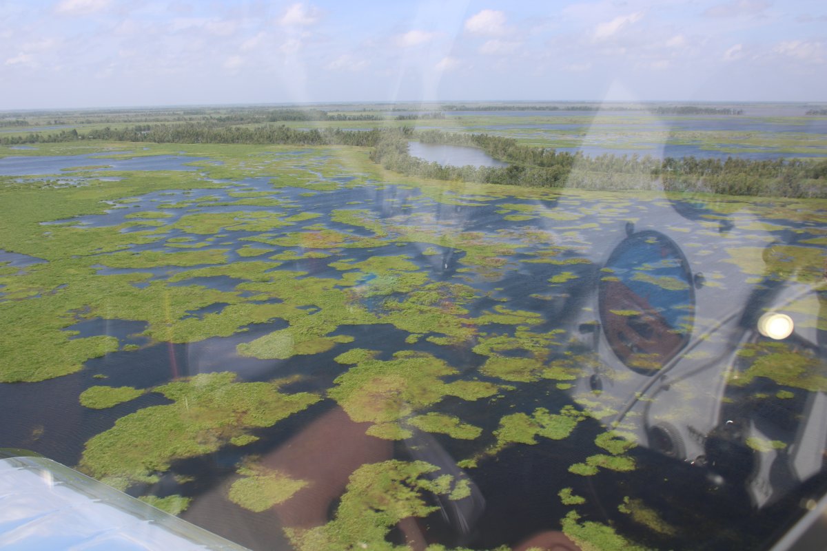
| Very pretty at low-level. |
| |
 |
|
|
|
| |
 |
|
| |
| |
 |
|
| |
 |
|
| |
| |
 |
|
|
|
| |
 |
|
|
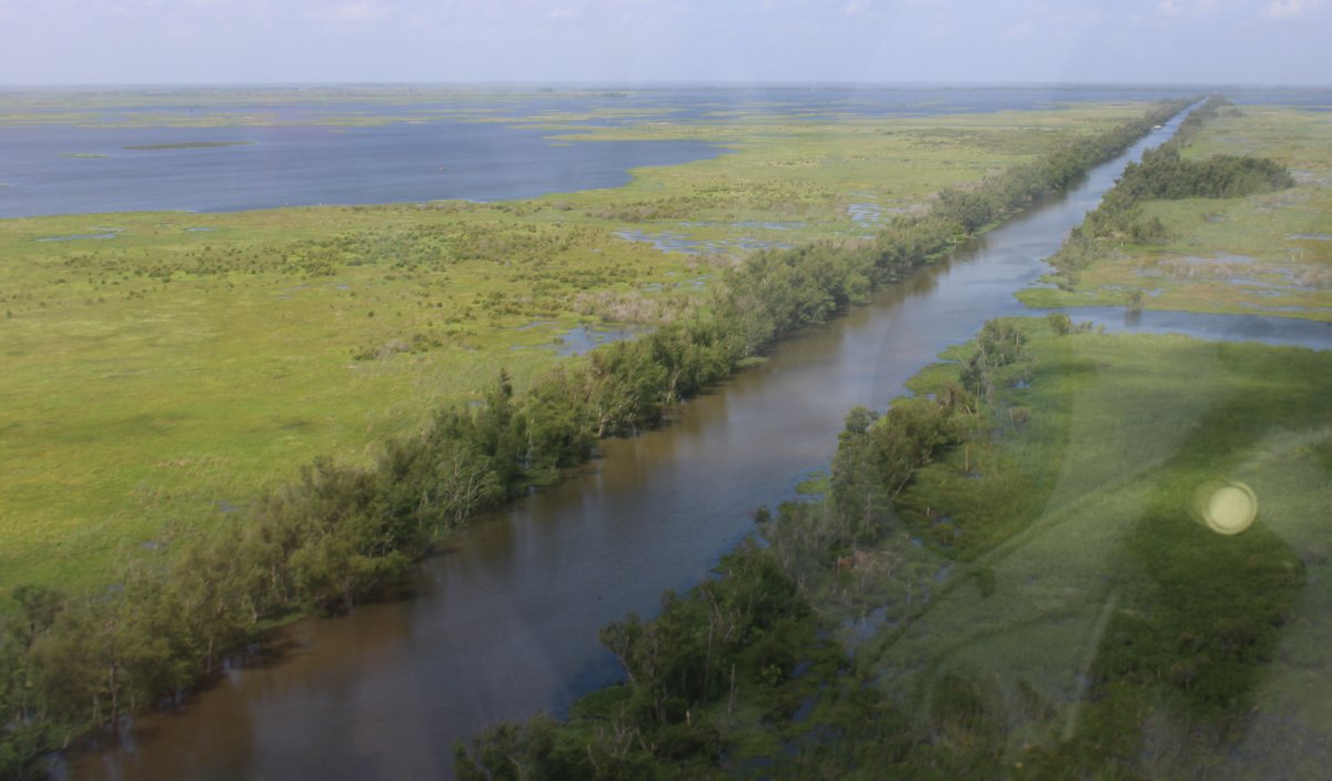
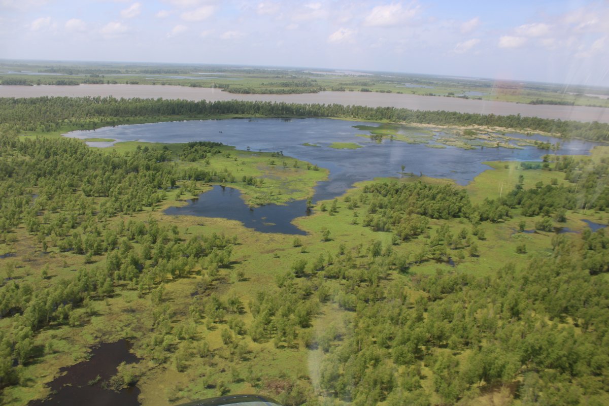
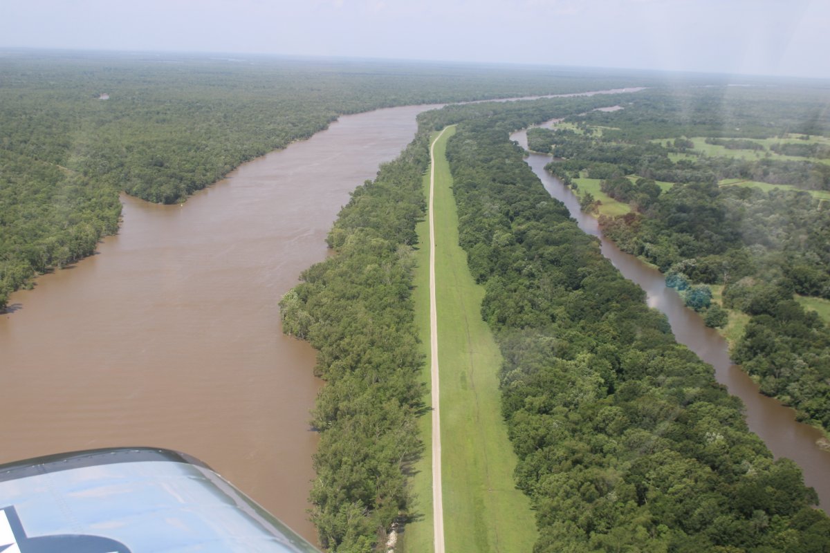
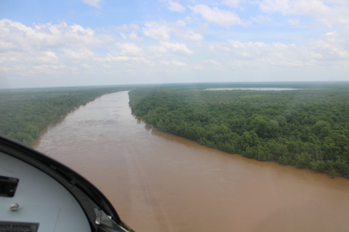
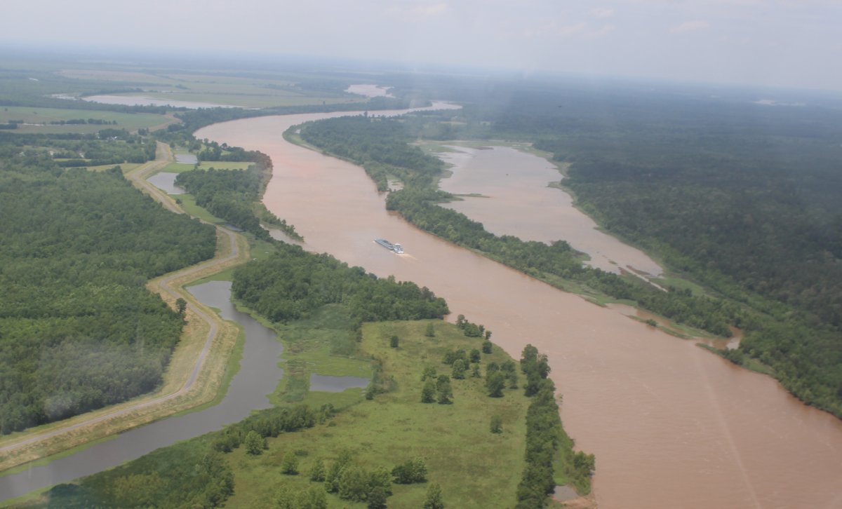
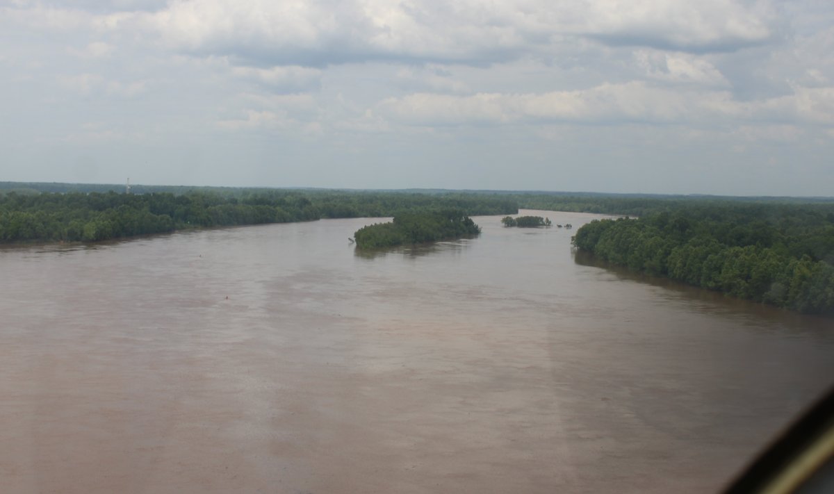
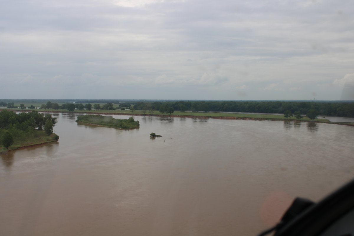
I got on the Atchafalaya River, a river I've never even heard of before until today. It runs north-south: its north end becomes the Red River, just to the west of the Mississippi River.
The Atchafalaya River is a 137-mile-long distributary of the Mississippi River and Red River in south central Louisiana in the United States. It flows south, just west of the Mississippi River, empties into the Gulf of Mexico, and is the fifth largest river in North America, by discharge. The name Atchafalaya comes from Choctaw for 'long river', from hachcha, 'river', and falaya, 'long'. ... Wikipedia
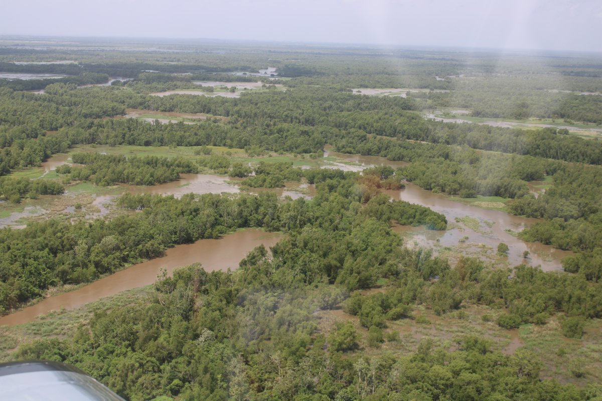
Notice the levee (with road) to the right of the river.
|
| |
 |
|
|
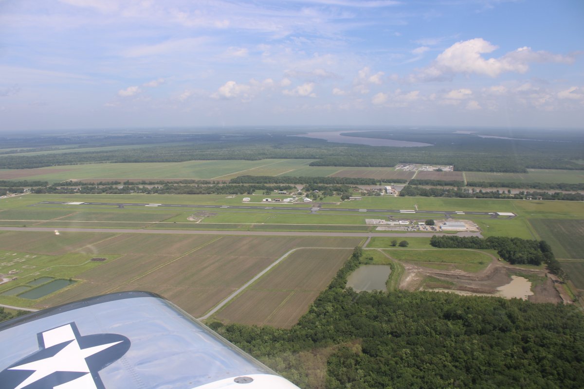
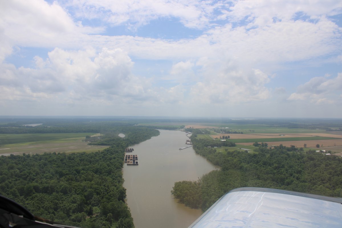
Passing by Harry P. Williams Memorial Airport (KPTN) of Patterson, Louisiana. I know this airport. I landed here on the way back home from my 2014 Green River flight. I stopped here for fuel and took the courtesy car into town for lunch.
|
| |
 |
|
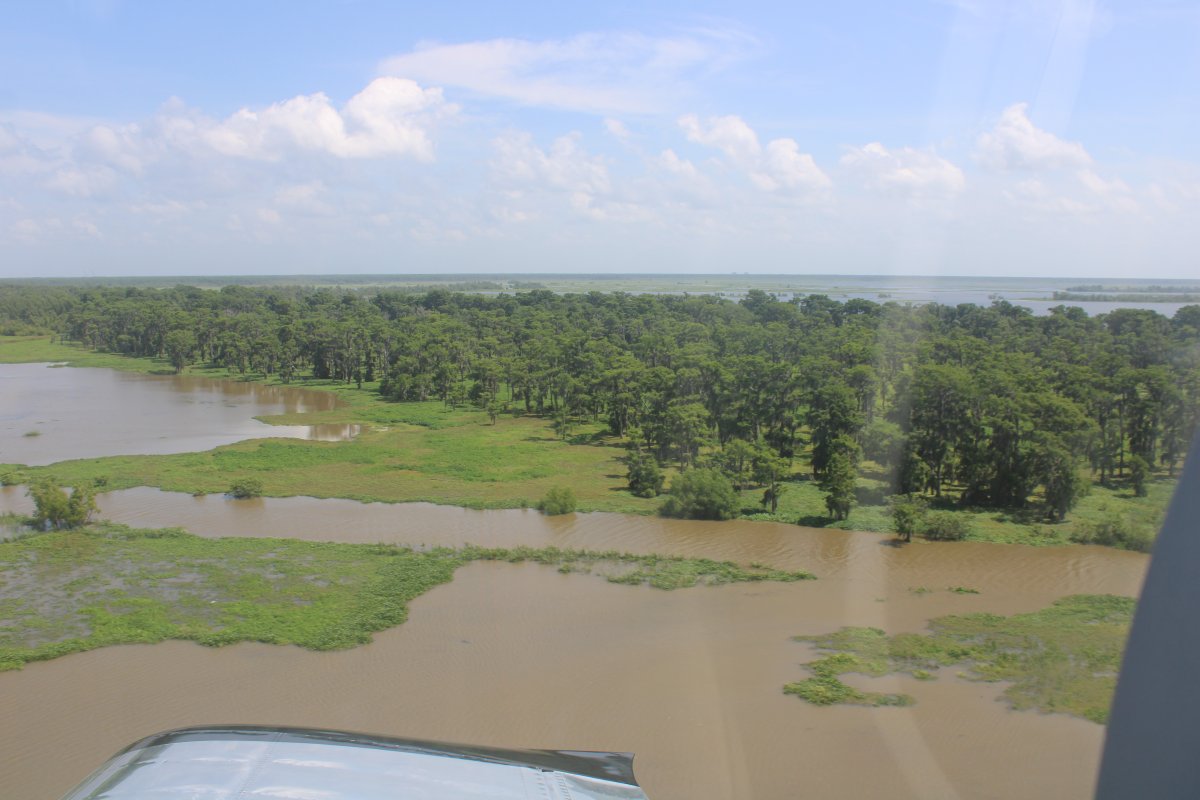
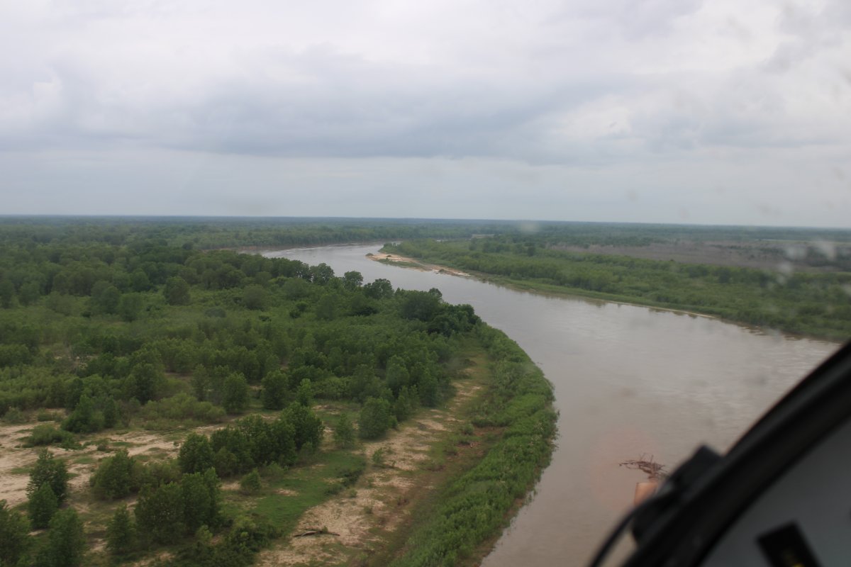
| After leaving Patterson, there was nothing but rivers and trees. |
| |
 |
|
| And a couple of secluded shacks on the river. |
| |
 |
|
| |
| |
 |
|
|
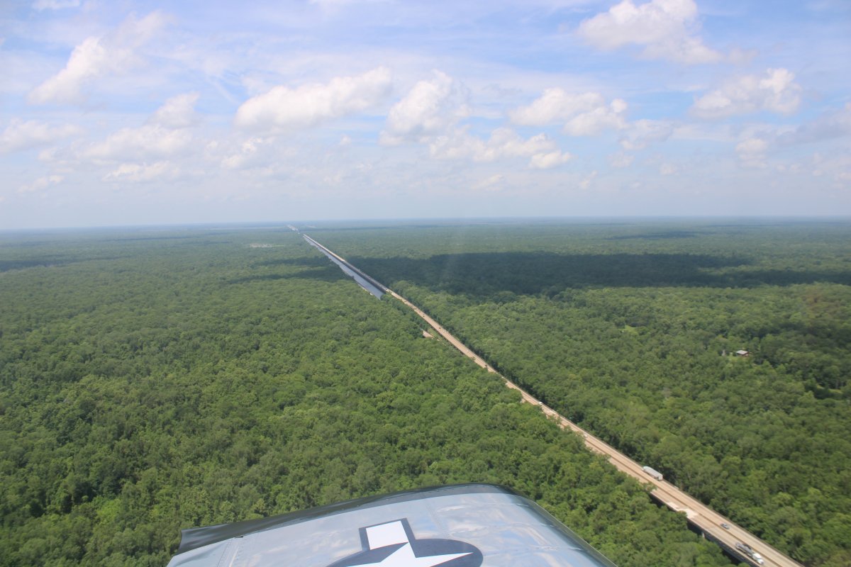
Bisecting Interstate 10 which runs all the way from Jacksonville, Florida to Santa Monica, California.
Interstate 10 (I-10) is the southernmost cross-country highway in the American Interstate Highway System. I-10 is the fourth-longest Interstate in the United States at 2,460.34 miles (3,960 km), following I-90, I-80, and I-40. This freeway is part of the originally planned network that was laid out in 1956, and its last section was completed in 1990. I-10 stretches from the Pacific Ocean at State Route 1 (SR 1, Pacific Coast Highway) in Santa Monica, California, to I-95 in Jacksonville, Florida. Major cities connected by I-10 include (from west to east) Los Angeles, Phoenix, Tucson, Las Cruces, El Paso, San Antonio, Houston, Baton Rouge, New Orleans, Gulfport, Mobile, Tallahassee, and Jacksonville, Florida. About one third of its length is within the state of Texas, where the freeway spans the state at its widest breadth. ... Wikipedia
|
| |
 |
|
|
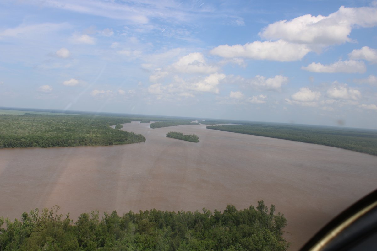
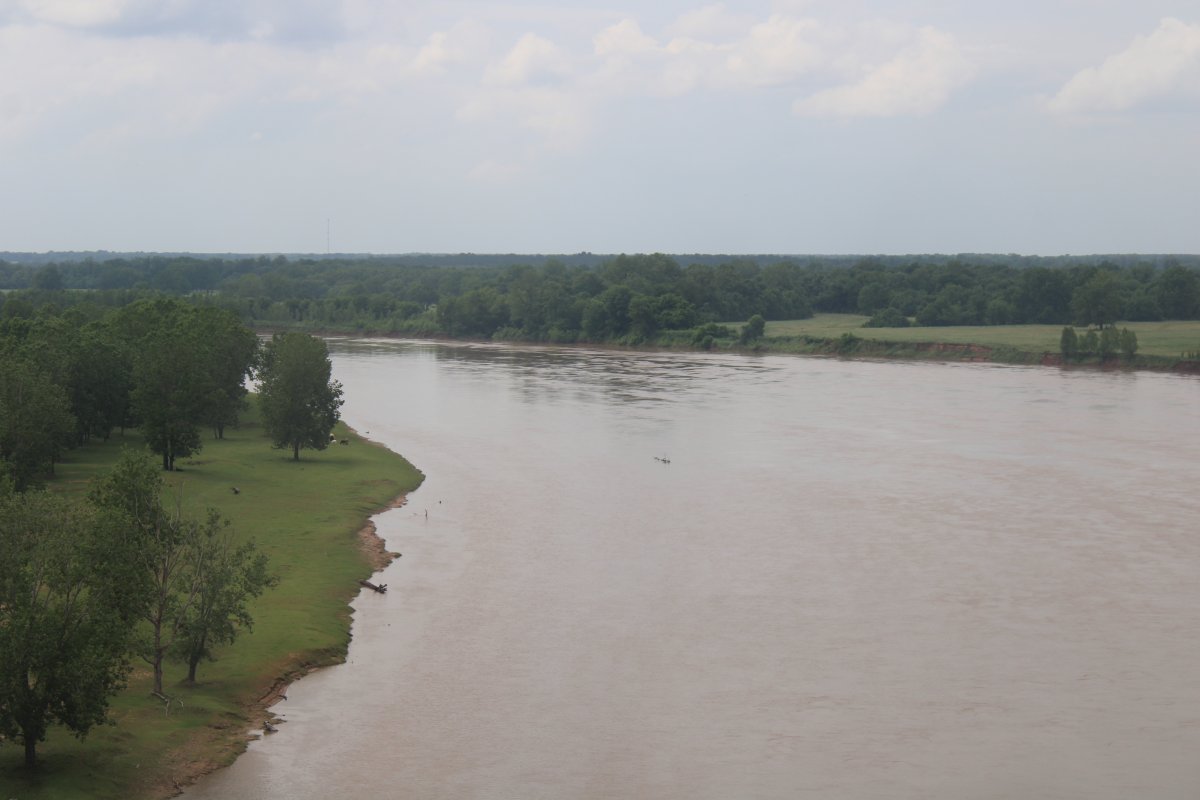
The Atchafalaya River ends here -- or begins here, depending on how you look at it -- near Simmesport at the confluence of the Red River with the Mississippi, where the Mississippi connects to the Red River by the 7-mile-long canalized Old River.
Here, I am over the confluence looking east down the canalized Old River with the Mississippi River barely visible in the distance.
|
| |
 |
|
|
Now I begin my journey on the Red River, a river I have long wanted to fly.
|
| |
 |
|
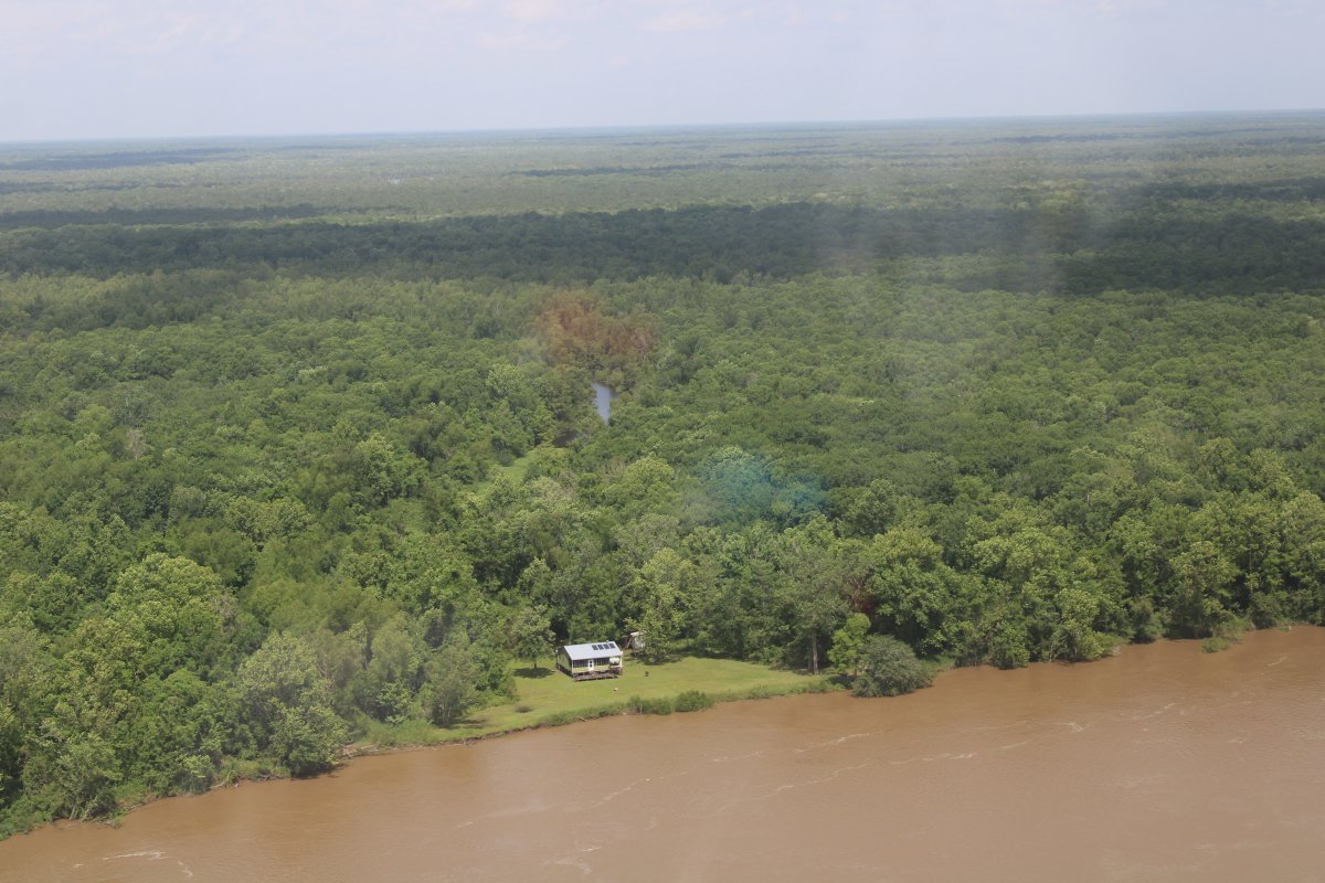
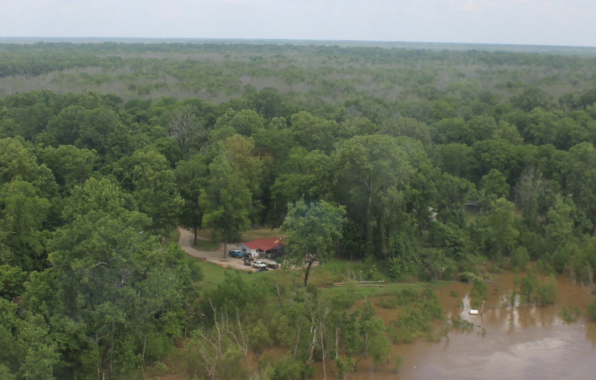
| Another very remote dwelling on the river. |
| |
 |
|
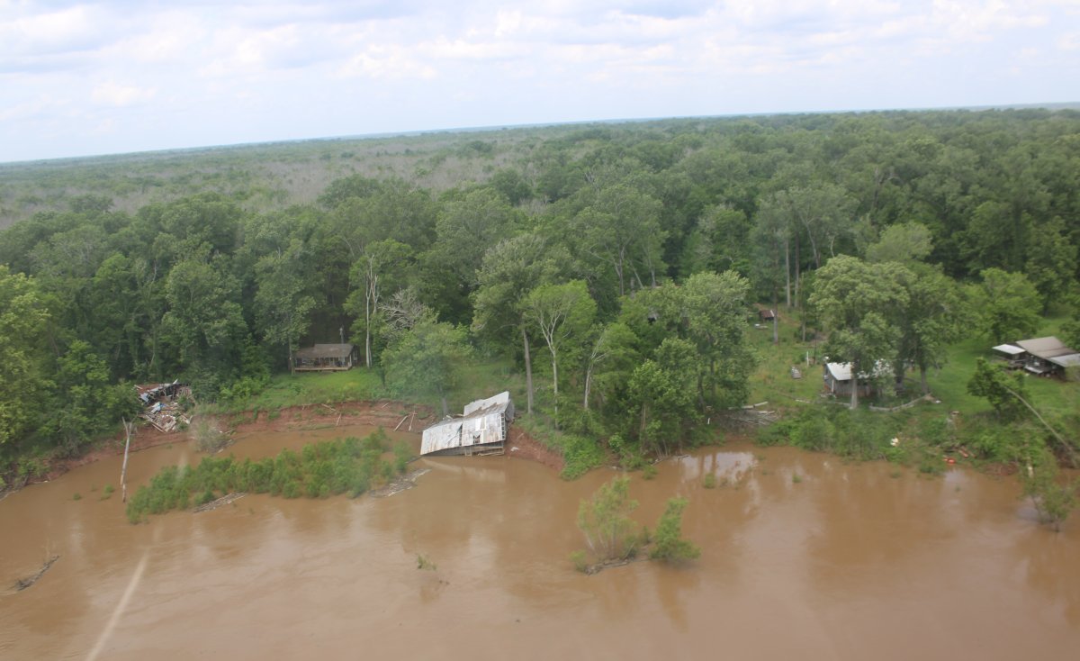
| And some dwellings that have not fared well. |
| |
 |
|
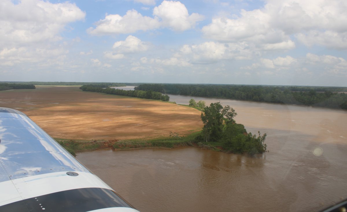
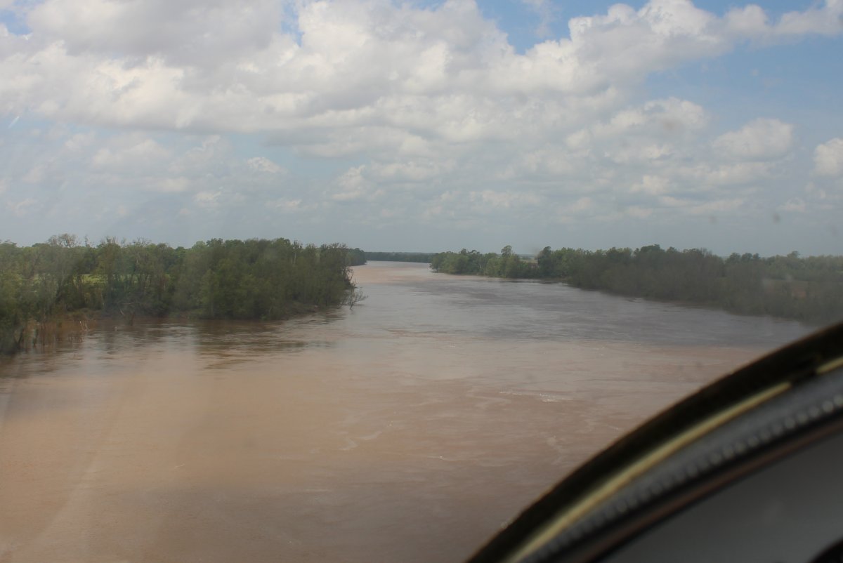
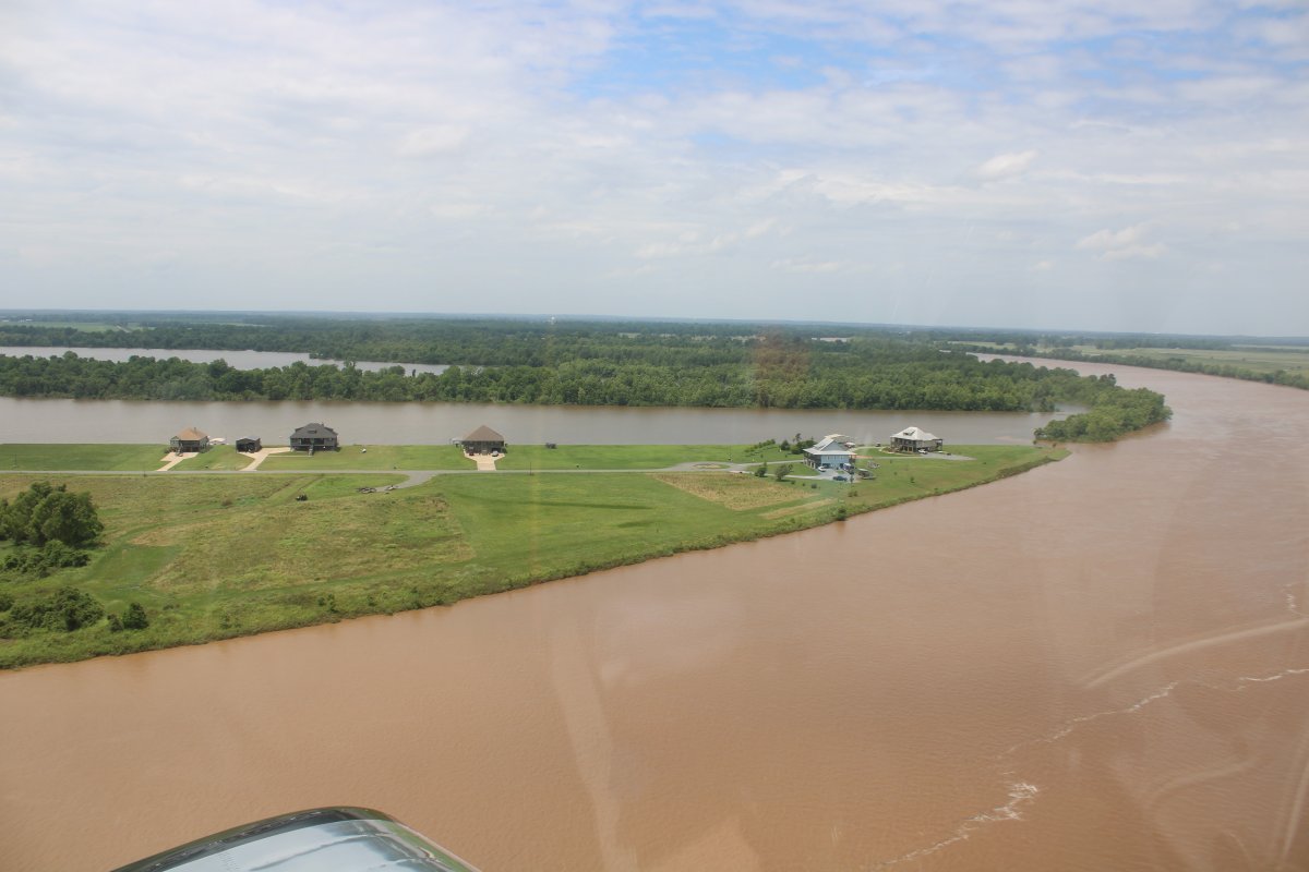
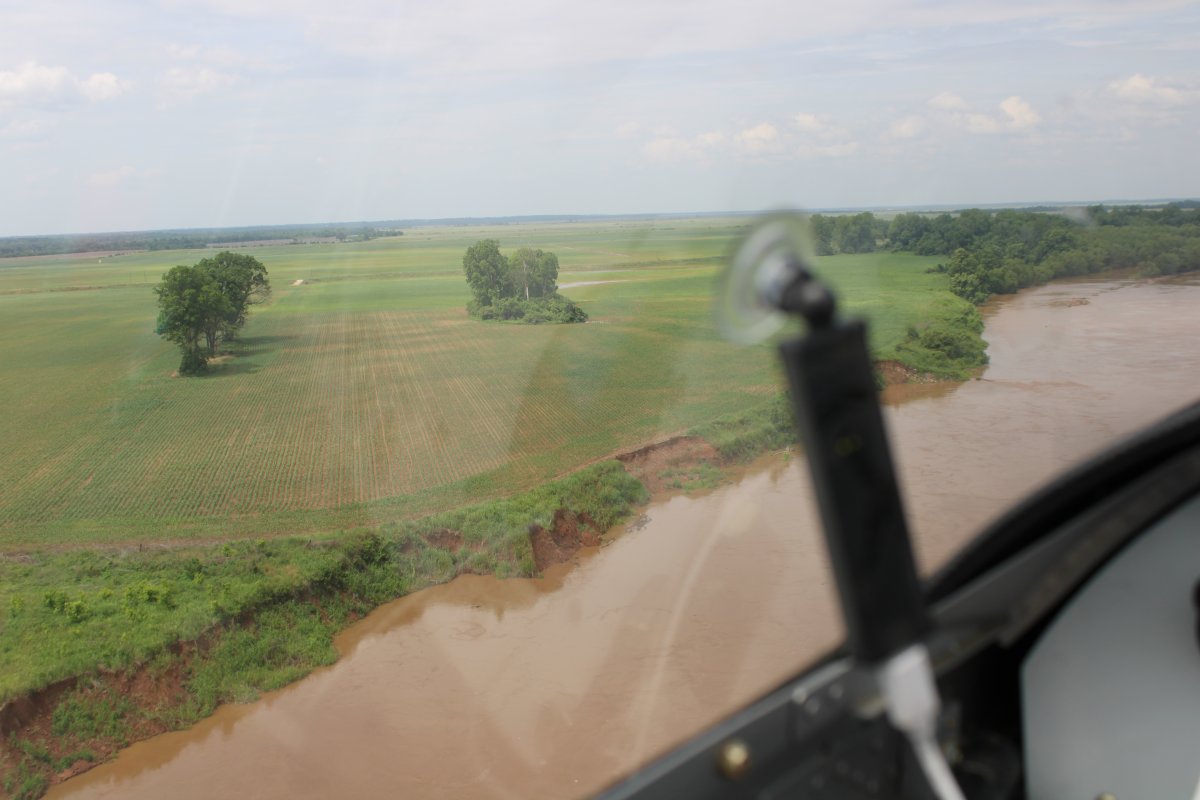
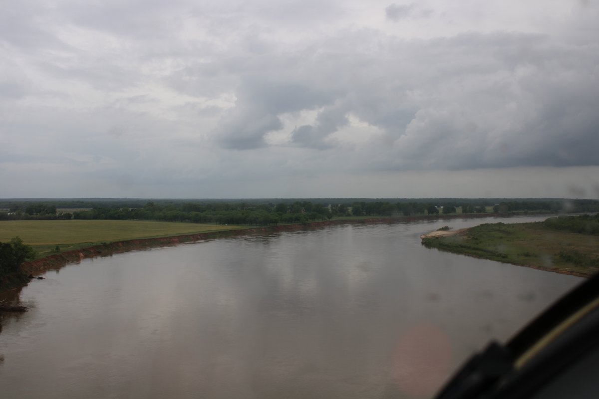
| The Red River was named for its reddish water color from passing through red-bed country in its watershed. You will see. |
| |
 |
|
|
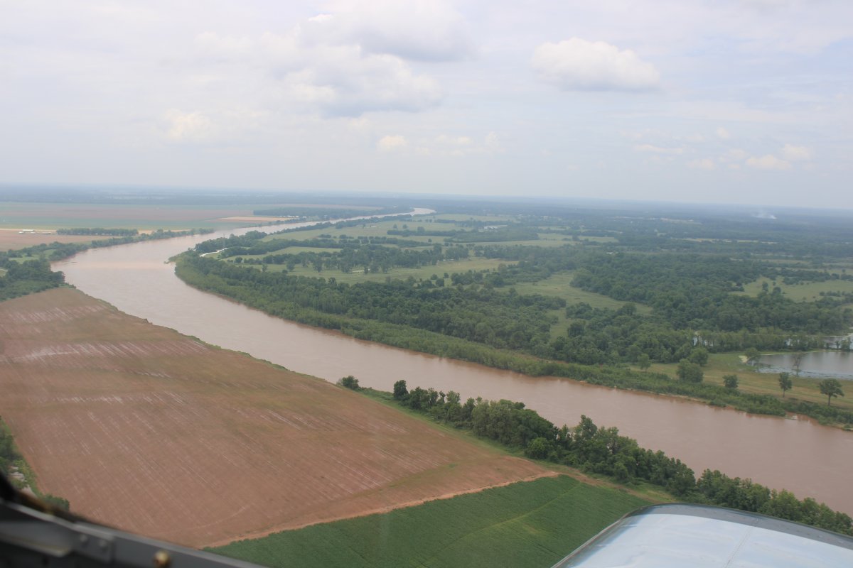
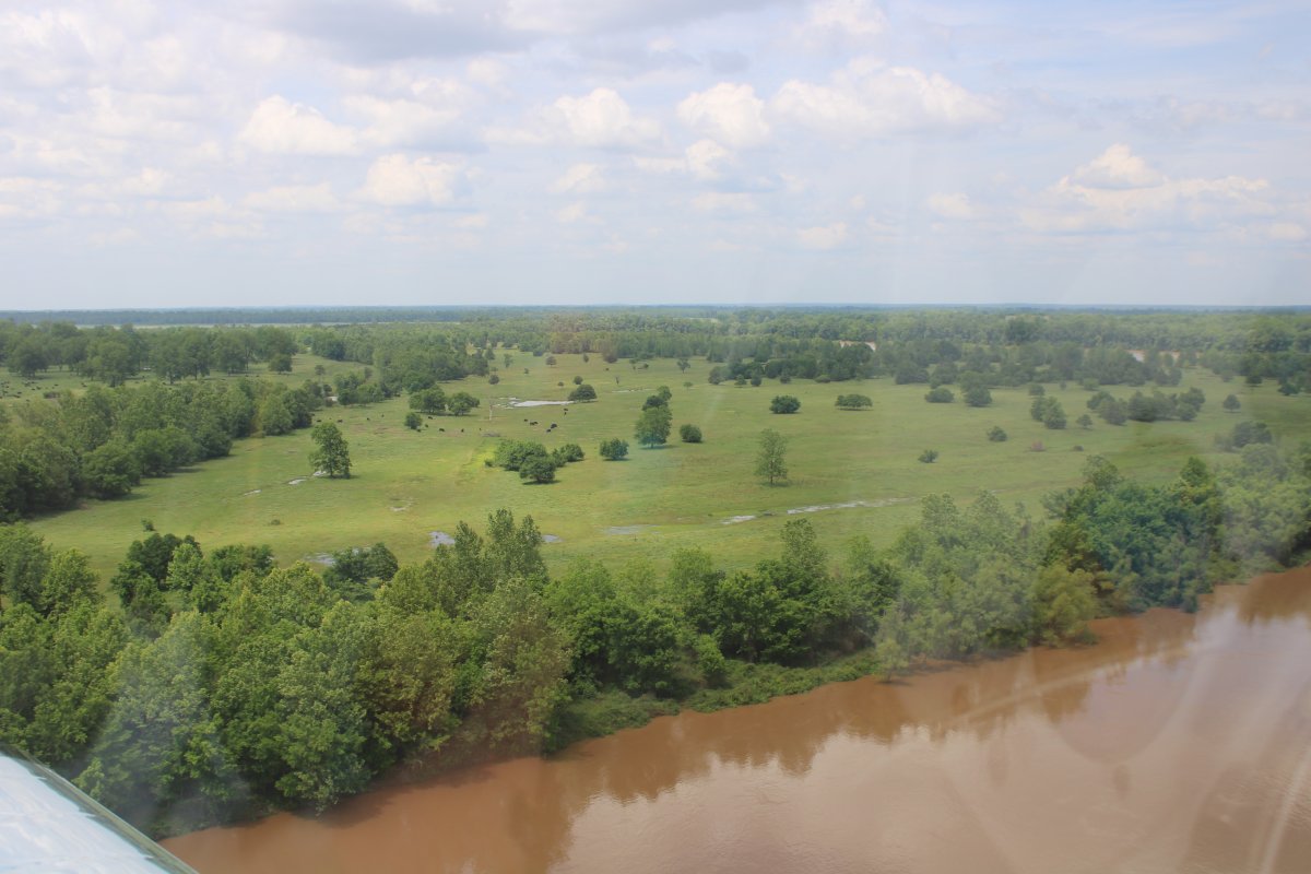
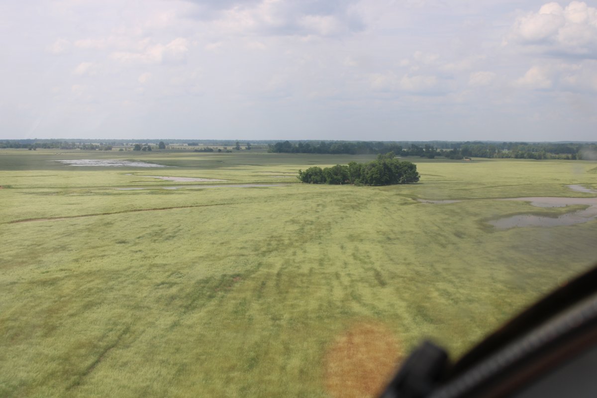
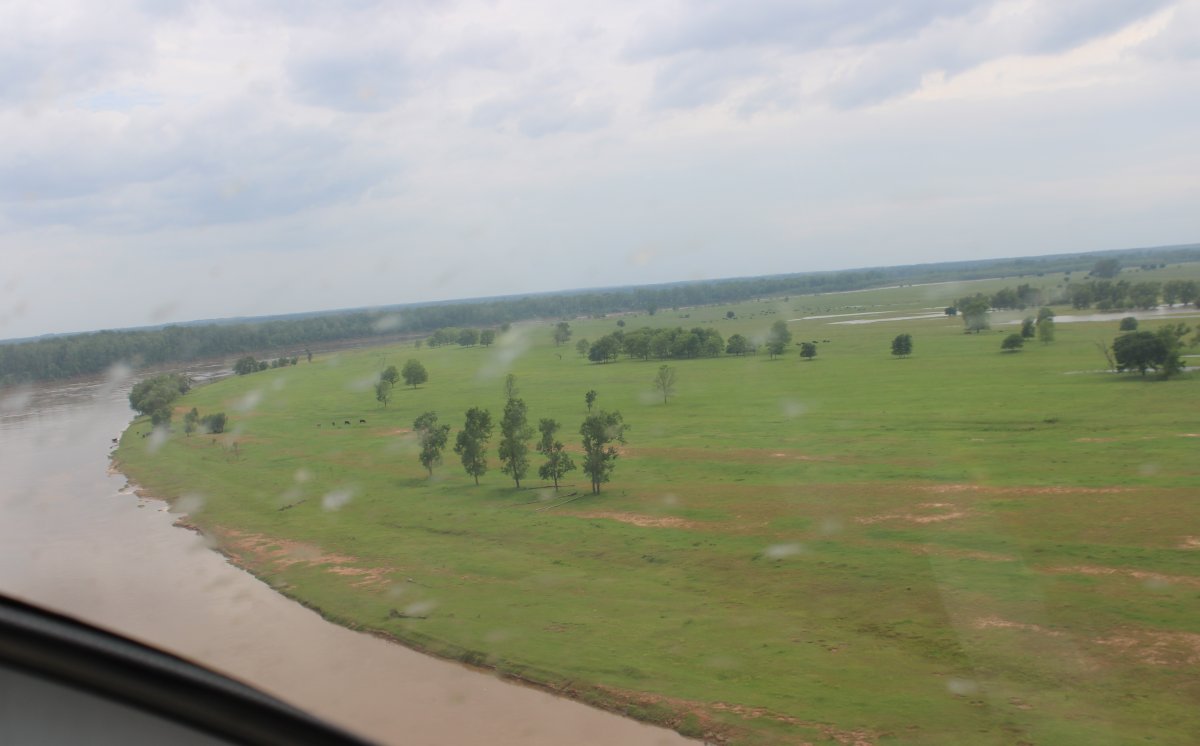
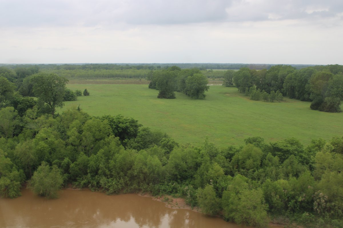
One thing I noticed early on with the Red River and something that would continue for most of its length was the how undeveloped the riverside was.
|
| |
 |
|
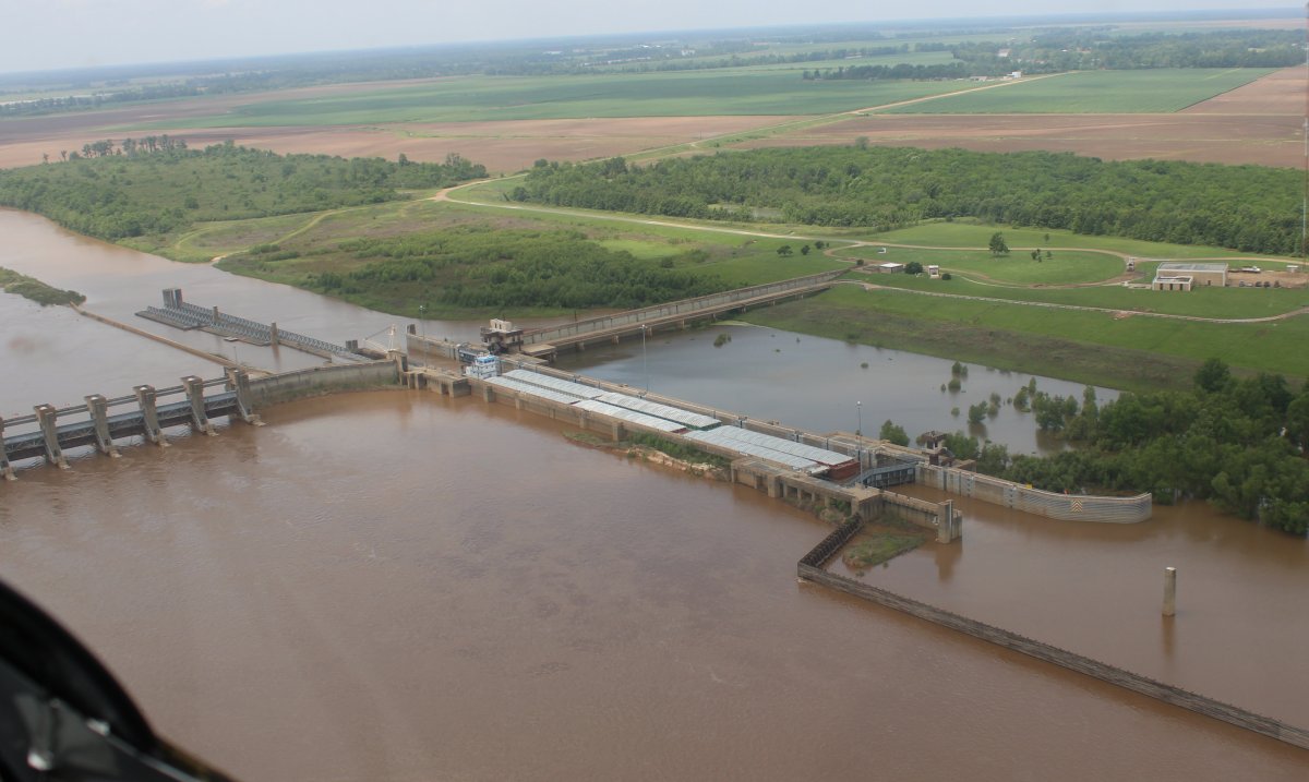
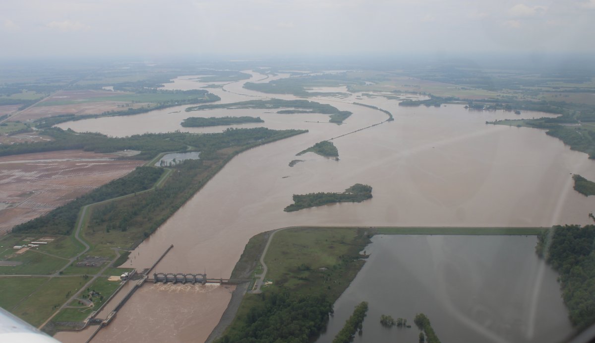
| Of course, as soon as I mention how undeveloped the Red River was, I come to Red River Lock and Dam #1. |
| |
 |
|
|
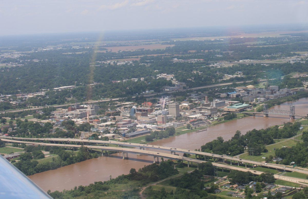
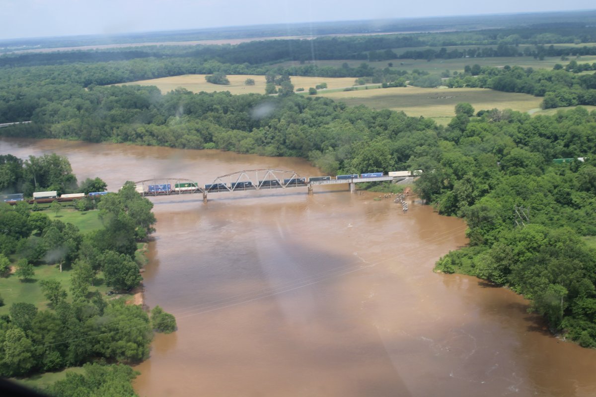
And a town. Passing by Alexandria, Louisiana on the Red River.
|
| |
 |
|
| Pineville Municipal Airport (2L0) which across the Red River from Alexandria. |
| |
 |
|
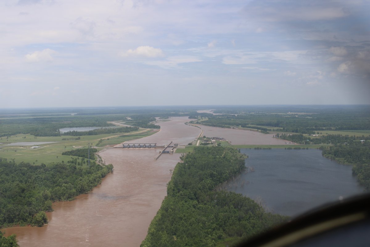
| Approaching Red River Lock and Dam #3. |
| |
 |
|
| A tug pushing a single barge up the Red River. |
| |
 |
|
| Rounding the bend. Starting to see a reddish hue now on the river. |
| |
 |
|
|
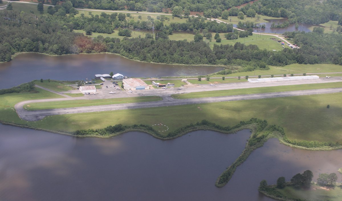
On a left downwind to land on runway seven at Natchitoches Regional Airport, Louisiana. That isn't the Red River; it's Chaplin Lake. Although the airport is very close to the Red River. I made a quick stop here for gas. Nice airport. One of the attendants was interested in my plane and I ended up talking to him about a career in aviation.
|
| |
 |
|
| Parked on the ramp at Natchitoches. They had a very nice FBO office and pilot's lounge. |
| |
 |
|
| Back on the Red River heading northwest mostly. |
| |
 |
|
|
Lock and dam #5
|
| |
 |
|
| |
| |
 |
|
| |
| |
 |
|
|
|
| |
 |
|
| I had to detour to the north around Shreveport to avoid its Class C airspace over the river, primarily due to Barksdale Air Force Base. |
| |
 |
|
|
|
| |
 |
|
| I passed through the southwest corner of Arkansas on the approach to Texarkana. |
| |
 |
|
| Once in a while I'd get off the river and fly low over empty fields. |
| |
 |
|
|
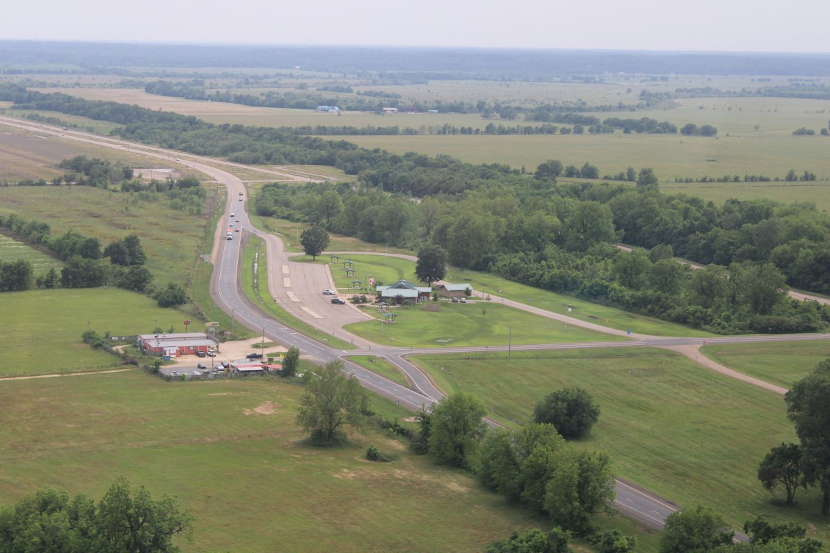
Here I'm just north of Texarkana looking north at a "Welcome to Arkansas" visitor's center.
|
| |
 |
|
| |
| |
 |
|
|
After Texarkana, I had Arkansas on the north side of the river and Texas on the south side. Then Oklahoma replaced Arkansas on the north side. The river was a real sidewinder during this period; and a lot of fun to follow.
|
| |
 |
|
| |
| |
 |
|
| |
| |
 |
|
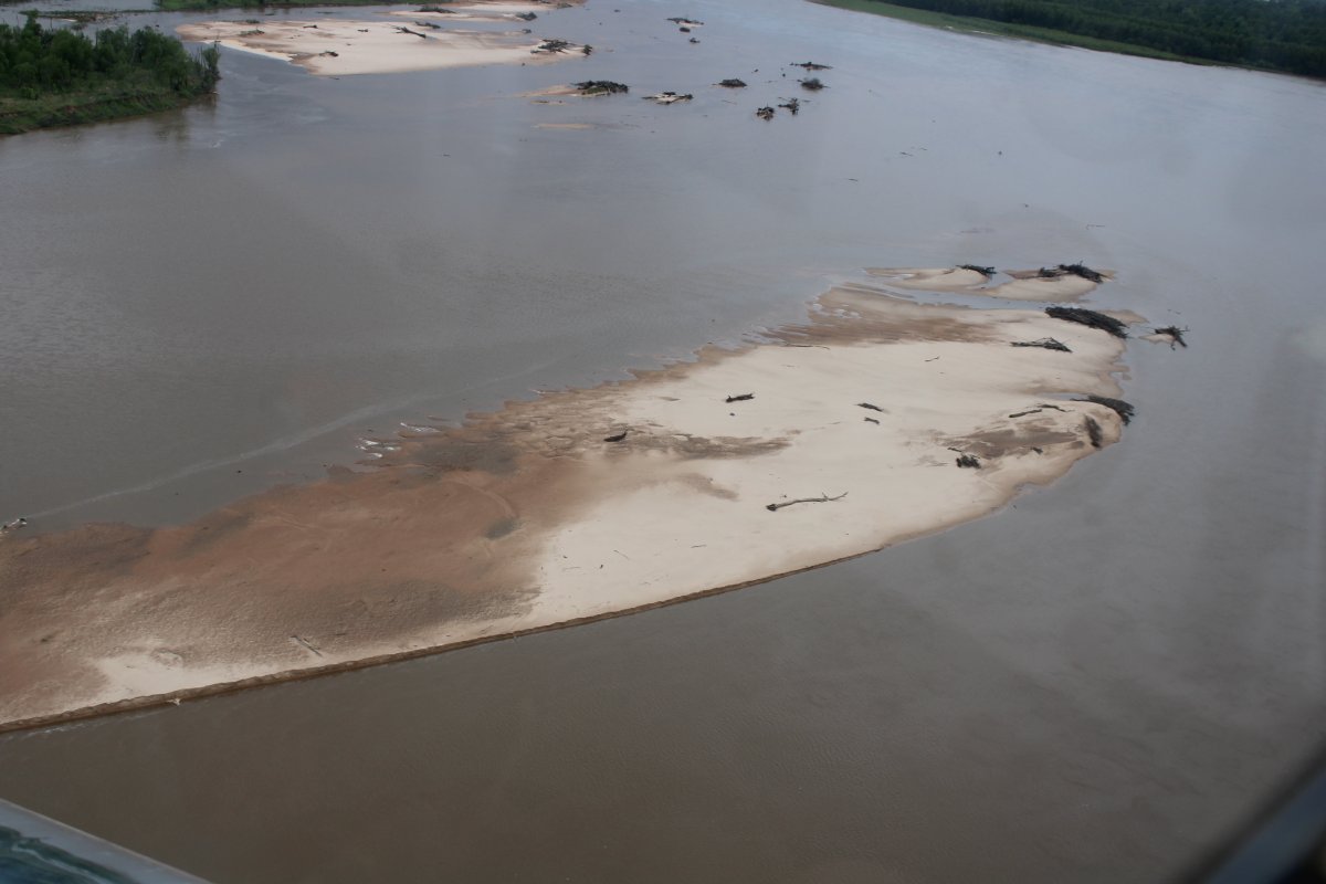
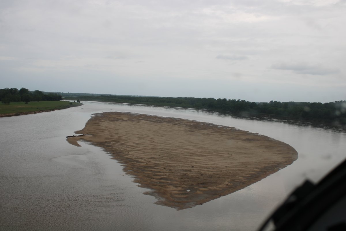
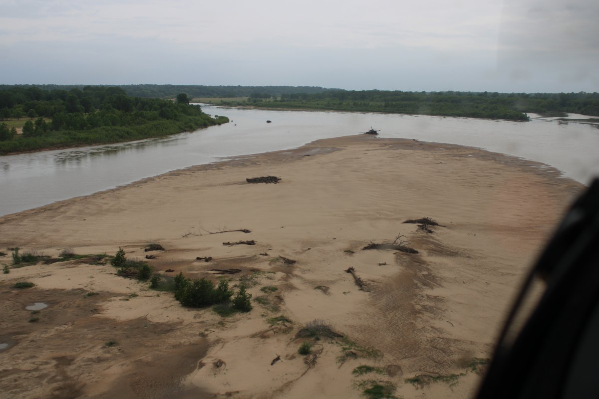
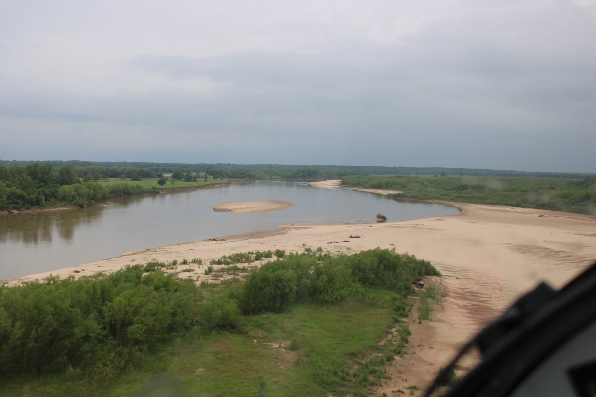
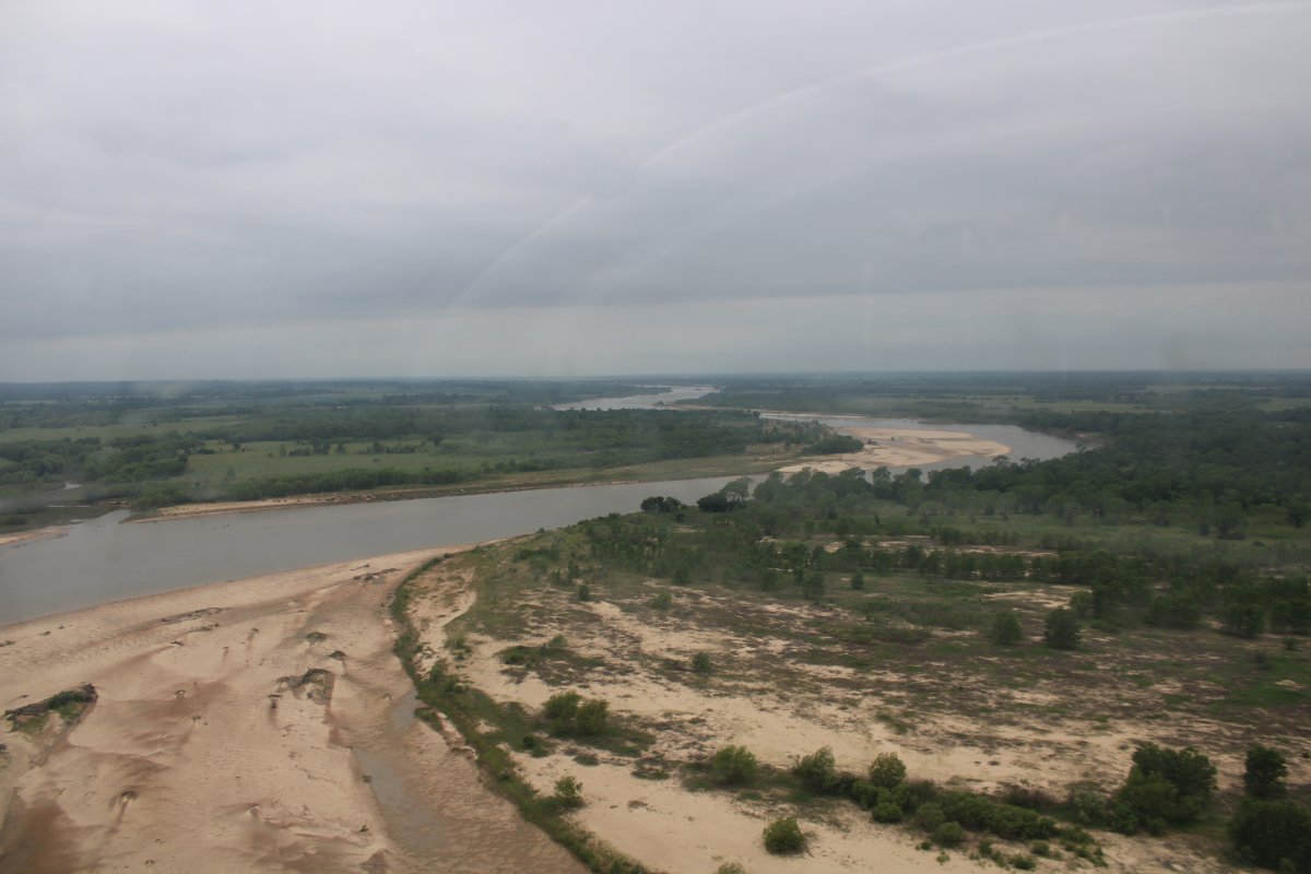
| I started encountering sandbars in the river. |
| |
 |
|
|
|
| |
 |
|
| |
| |
 |
|
|
|
| |
 |
|
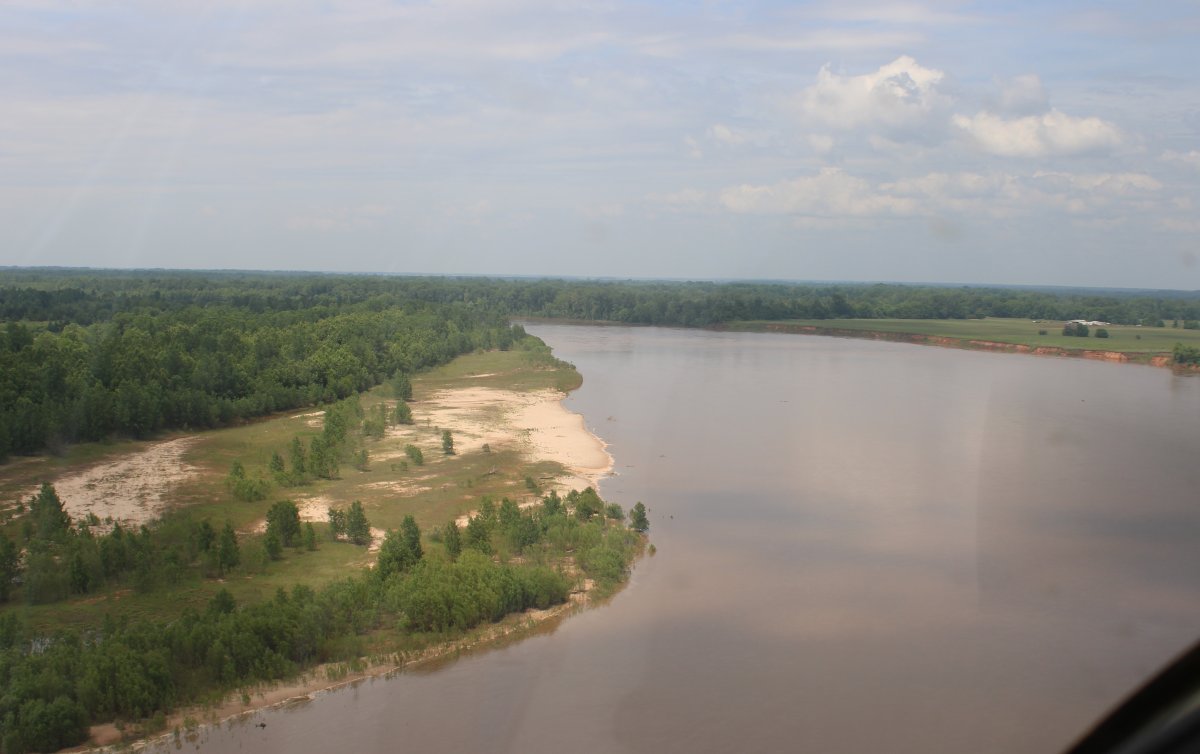
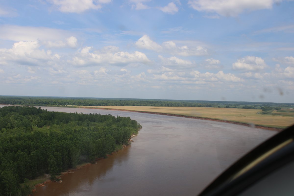
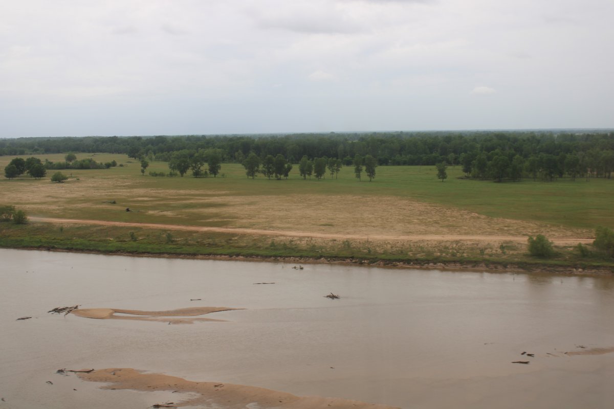
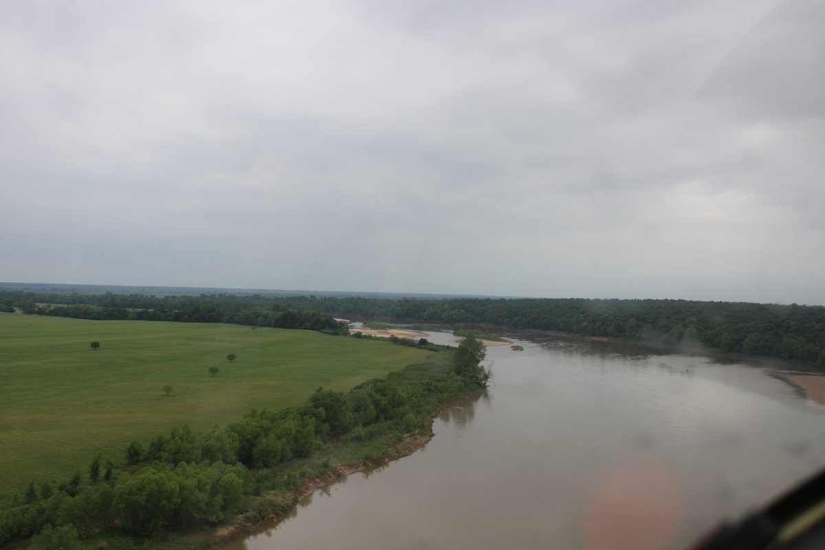
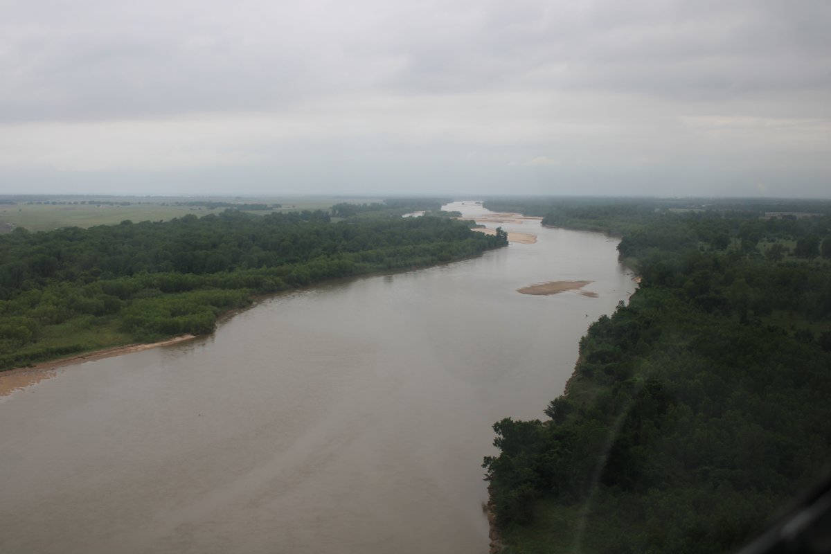
| As you can see, for most of the Red River there was little to no civilization along the sides. |
| |
 |
|
| |
| |
 |
|
| |
| |
 |
|
|
|
| |
 |
|
| |
| |
 |
|
|
The plan was to overnight in Gainesville, Texas which is just off the river north of Dallas. It looked like a promising overnight stop, having the all important courtesy car, and a good avgas price. I had been having fun following all the twists and turns in the river but that is time consuming, and around 4:30 or so I realized that it might be a good idea to get to Gainesville airport before 5PM when the FBO closed. So just prior to Lake Texoma I climbed off the river and headed direct for Gainesville.
|
| |
 |
|
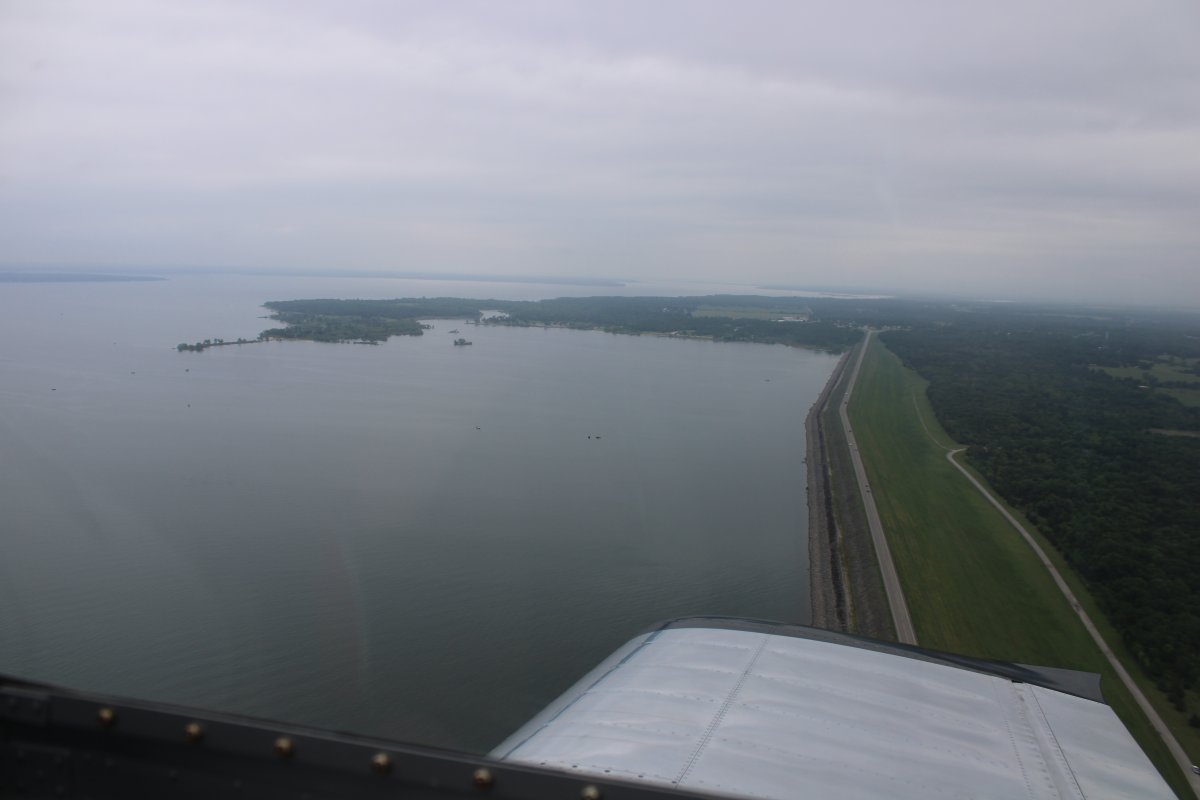
| Passing over the Lake Texoma dam which is at the east end. |
| |
 |
|
|
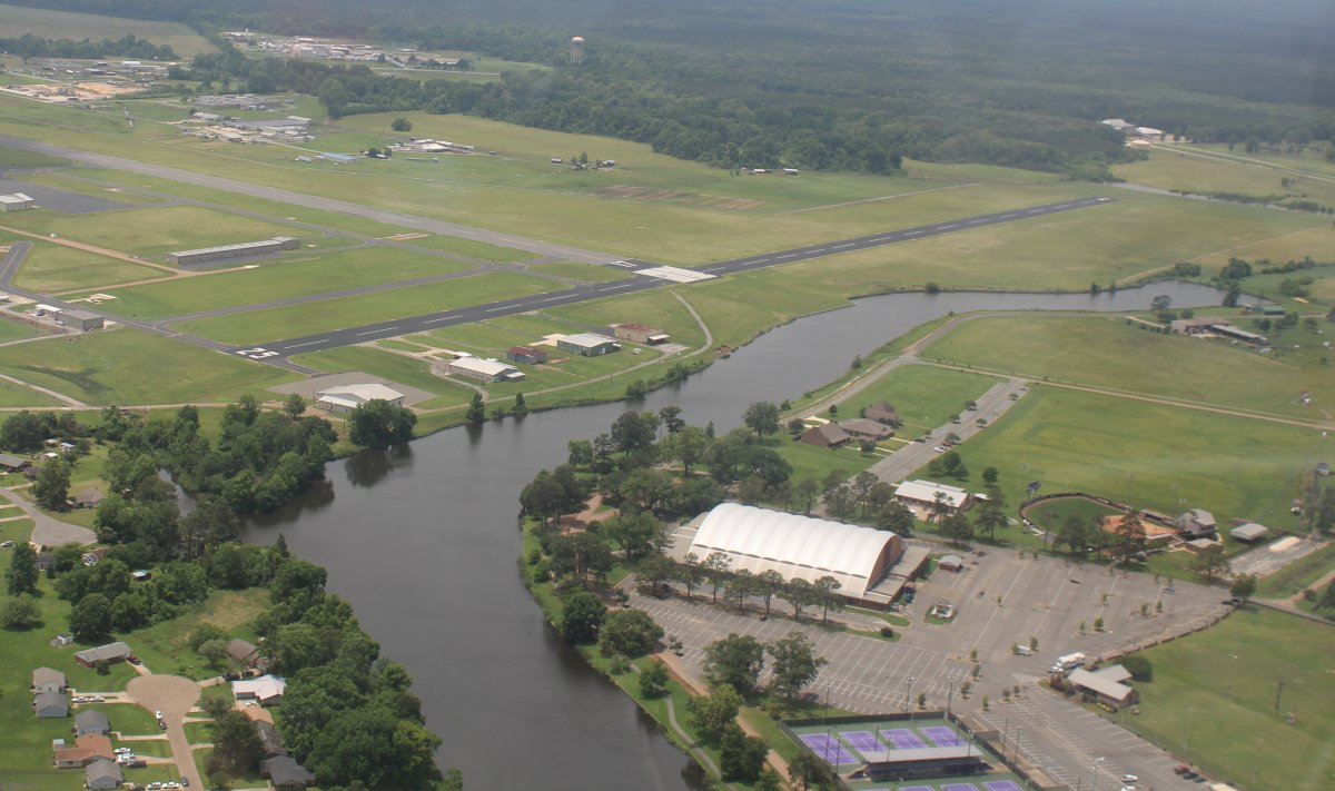
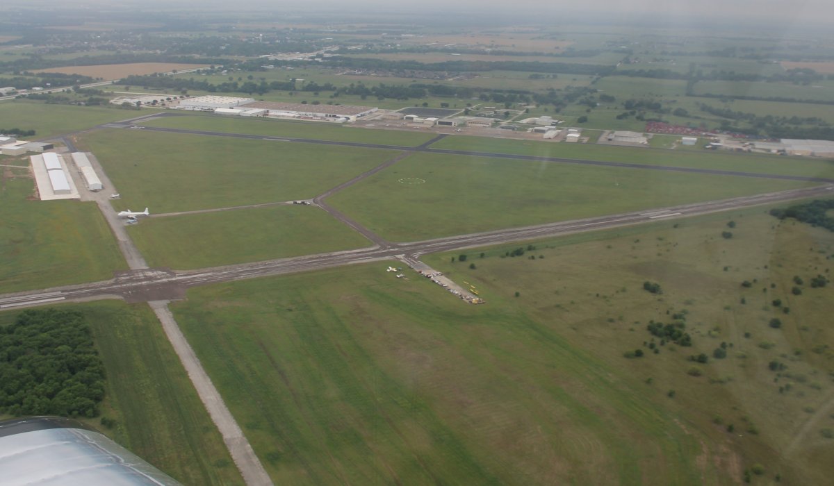
It only took 15 minutes to get to Gainesville Airport which is below.
|
| |
 |
|
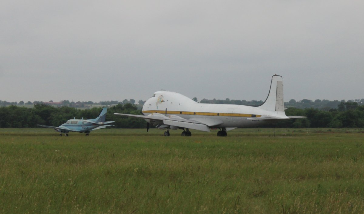
| Sort of a propeller-powered 747 looking airplane sits out in the middle of the airport. |
| |
 |
|
|
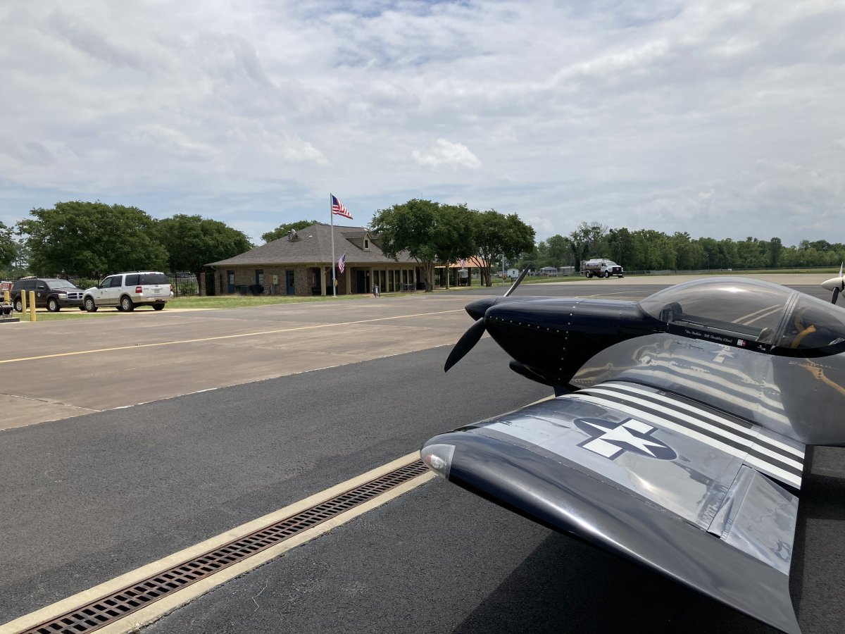
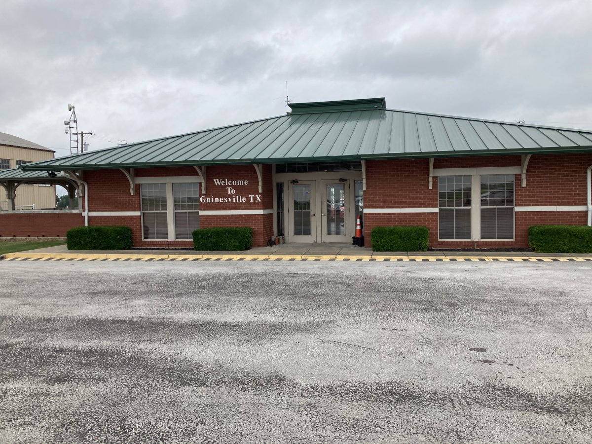
The FBO building which was very nice inside. The attendants were busy closing up for the day but they were friendly and had not one, but two, courtesy cars available.
But I had made a mistake. Normally I try to make a motel reservation on Booking.com early in the day, but I had forgot to do that today. When I tried to make a reservation, I discovered that very little was available and the prices were really high -- $200 for what I would normally expect to pay $70. The best I could do was a cheap motel 10 miles south of Gainesville for $133 which was double what it was should have been. It was right off the Interstate and the highway traffic was so loud that you needed ear protection in the motel parking lot! Even if I had been able to reserve in advance, motel prices are still high in this town. I'm guessing it is because Gainesville is like Midland; an oil workers town with a shortage of rooms so they can jack the prices. Plus it was a Saturday which didn't help my cause. As you can probably tell, I dislike having to waste money.
I flew a lot today: 7.4 hours in three flights. This would be the most flying in one day of this entire trip.
|
| |
 |
|
| |
| |
|
|
|
|
|
|